UNESCO Heritage Site – Self Guided Tour
Asematie 1
41900 Petäjävesi
Citynomadi +358 404840178 merja.taipaleenmaki@citynomadi.com
Visit websiteCitynomadi’s selfguiding tool has numerous variety of UNESCO sights.
Particularly valuable cultural and historical places are carefully selected as UNESCO World Heritage Sites. The environments vary a lot from old town areas to unique attractions in the nature.
Especially noteworthy for the visitors is to first show the parking area information and the guidelines for a responsible visit in the area.
The detailed area map will help you find all the important and interesting historical points of interest.
One World Heritage map can showcase multiple sites, even if they are located far apart from each other. By clicking “Focus on content” you will see the whole scale, and by zooming in, you can have a closer look at each site.
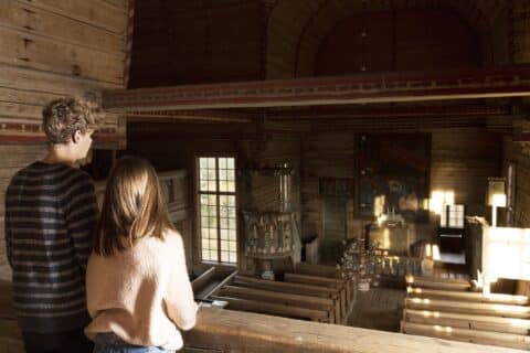
An example of such self-guided route is the Petäjävesi Old Church and Struve Geodetic Arc route, which you can find on the Nomadi app by searching #Struve
The Struve Geodetic Arc is a gigantic chain of measurement triangulations, which was used in the 17th century to establish the exact size and shape of our planet. The Oravivuori station point became a UNESCO World Heritage Site in 2005.
This map has been designed so that these two World Heritage Sites can be explored separately in nine languages. The map has multiple layers, each of which contain their own tracks where you can get to know either the World Heritage Sites or their surroundings. So, if you want to, you can explore up to five different tracks. Some of these tracks also include audio guidance.


