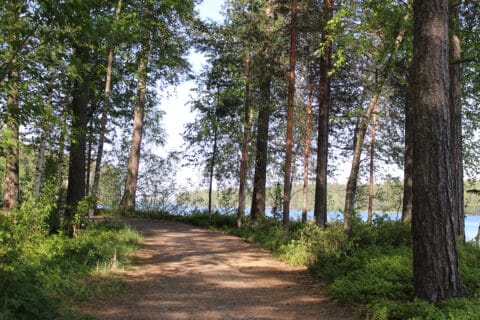
Mäntyharju-Repovesi National Park hiking route
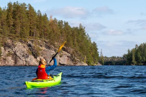
You can take on the Mäntyharju-Repovesi route both hiking and mountain biking. The hiking route between Mäntyharju and Repovesi National Park takes you through beautiful and varied terrain. The route that has formed over time in the beautiful area between the ridge forest lakes offers a passage from Mäntyharju to Repovesi via Mouhunkylä. Narrow forest paths, fishy waters, multiple bird species, open rock hills and beautiful lake landscapes with rest areas enliven the journey. Nature becomes increasingly wilder when reaching closer to the national park. The route is located in the area of two municipalities, Mäntyharju and Kouvola. A geocache can be found on the route.
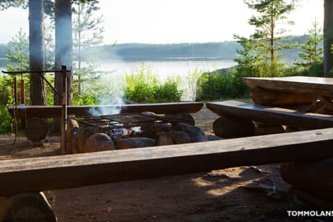
Resting places:
Uutela shelter,
Sammalinen goahti,
Pitkäjärvi shelter,
Matkoslampi shelter,
Pitkälampi
NB: On a page www.mantyharju.fi/mantyharju-in-english/ you’ll find also a brochure in English.
